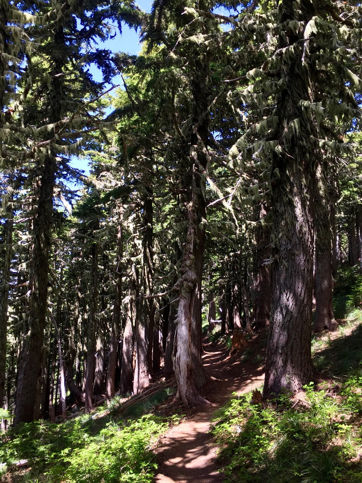
I don't usually hike back-to-back days, but two busy weeks at work had me itching to get outside. So Red and I set off Monday morning to take on Mcneil Point--a 10 mile (2,200' gain) spectacular trek near Mt. Hood. Top Spur Trailhead is roughly 1.5 hours from town via US-26 east to Lolo Pass Road, followed by several miles on a narrow, gravel road. This trailhead provides quick access to the Timberline Trail, making it busier than neighboring McGee Creek Trailhead. I left the car at 9:15am, following the heavily used Top Spur Trail through handsome, old-growth forest.


After one half mile, a right turn on the Pacific Crest Trail leads to a four-way junction. Staying left on the Timberline Trail is the most direct route to McNeil Point, but a more scenic option is to go straight on the other leg of the Timberline Trail. This way only adds 0.6 miles and includes a stellar traverse around Bald Mountain. The Muddy Fork of the Sandy River rushes down from Mt. Hood, more than 2,000' below. Summer wildflowers and butterflies--a common theme from my past few hikes--made the scenery that much more magical. Such a high.


Crowds thin out as the trail loses a bit of elevation, then climbs more steeply. After a few switchbacks (mile 3.3), there is a faint path that leads to a steep shortcut up the face of McNeil Point; I made note of this scramble, but opted out this time around. After more switchbacks, the main route crosses several streams and small waterfalls before leveling out in open country, with lush meadows and stands of ancient mountain hemlock. Next up is to pass a large boulder slope below McNeil Point and a pair of picturesque tarns.


From here, the path climbs to a junction with the Mazama Trail and crosses a seasonal stream flowing down an alpine valley. Morning clouds gave way to a gorgeous day.

The McNeil Point Trail winds through a stunted forest of mountain hemlock and fir, and begins to follow a low ridge with fantastic views of the mountain and outflow from Glisan Glacier.


From the saddle at mile 4.5, the trail crosses a scree slope that can have snow late into summer, then curves above a picturesque valley. Cross McGee Creek and another scree slope before traversing up to McNeil Ridge.


At the broad table of McNeil Point, a lower path immediately leads to a historic stone shelter at mile 5 (5,900'). Views abound from this airy spot, extending to Mt. St. Helens, Mt. Rainier, Mt. Adams and Lost Lake far below.


The graceful pyramid of Mt. Hood towers above. A route continuing further up the ridge was bookmarked for future endeavors.


After basking in the rewarding vista, I returned to the trailhead by 2:15pm (5 hours RT). This was without doubt one of my all-time favorite hikes. My biggest advice is not to rush; give yourself the entire day to enjoy the beauty of the trail from start to finish. I would also be interested to backpack some of the longer trails in the area, taking advantage of the many campsites. Another home run!