On Friday, I drove 1.5 hours southwest to the Mt. Hood National Forest. There are few more iconic symbols of Oregon than Mt. Hood, the state’s highest point at 11,245' and the fourth highest peak in the Cascade Mountain Range. The dormant volcano last erupted in the 1780s. 12 glaciers surround its pyramidal summit, which creates a dramatic centerpiece for the Mt. Hood Scenic Byway--a 100-mile route that skirts the mountain through fruit valleys and thick fir forest.
Earlier in September, Oregon's first fatal cougar attack marked the area off-limits for hiking. However, Aunt Judy was able to recommend a safe trail far enough away from the danger zone. The trek to Lookout Mountain from Highway 35 is five miles with almost 3,000' of elevation gain (RT 9.2 miles, 2,975' gain). The easier option is to drive to the trailhead a mile from the summit, but I challenged myself to earn the views!


Start time: 8:45am. Half of the hike's elevation gain occurs in the first two miles via forested switchbacks. A great viewpoint of Mt. Hood breaks the monotony.


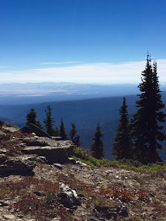
The next two miles flatten out before a road crossing at Gumjuwac Saddle, named for an old sheepherder known as Gum Shoe Jack. The Divide Trail weaves through mountain meadows with excellent views. While I missed the wildflowers, the autumn colors were stunning in their own right.
After a spring crossing, a tedious climb through an alpine wonderland leads to the summit ridge.
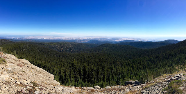
At 6,500', the summit view offers a complete panorama from Mt. Rainier to Diamond Peak (a straight-line distance of ~225 miles). This includes the desert of Central Oregon, the peaks of the Columbia Gorge, the Hood River Valley, and the Columbia River itself--not to mention one of the best views of Mt. Hood. How I miss living at elevation!


